We talk a lot about road trips here. This article details global Google Search data showing the most popular road trip across the world – with the legendary Route 66 leading the pack, followed by California’s Pacific Coast Highway. Up to now, our focus has been on a luxury vehicle road trip. What’s the end game, though? You’re not driving aimlessly, there is a destination in mind, isn’t there? Many of us during the summer want to drive to a place where health and wellness is the focus, like summer hiking. Being healthy and whole is a luxury onto itself.
So this time out, we’re going to focus on a summer hiking destination that recently made National Geographic’s 25 amazing journeys list for 2022 – the Sentier Nepisiguit Mi’gmaq Trail in New Brunswick.
Hiking, of course, brings immense health and wellness benefits. It boosts your cardiovascular health, getting the heart pumping. It strengthens muscles, and is a great way to burn calories and lose weight. Getting active like this can improve flexibility and range of motion. Then there are the mental health benefits – a reduction of stress that comes from detaching from the hustle of everyday big city, urban life, the improvement to your mood that comes from the physical activity, fresh air, the increase in endorphins, your body’s natural feel-good chemicals.
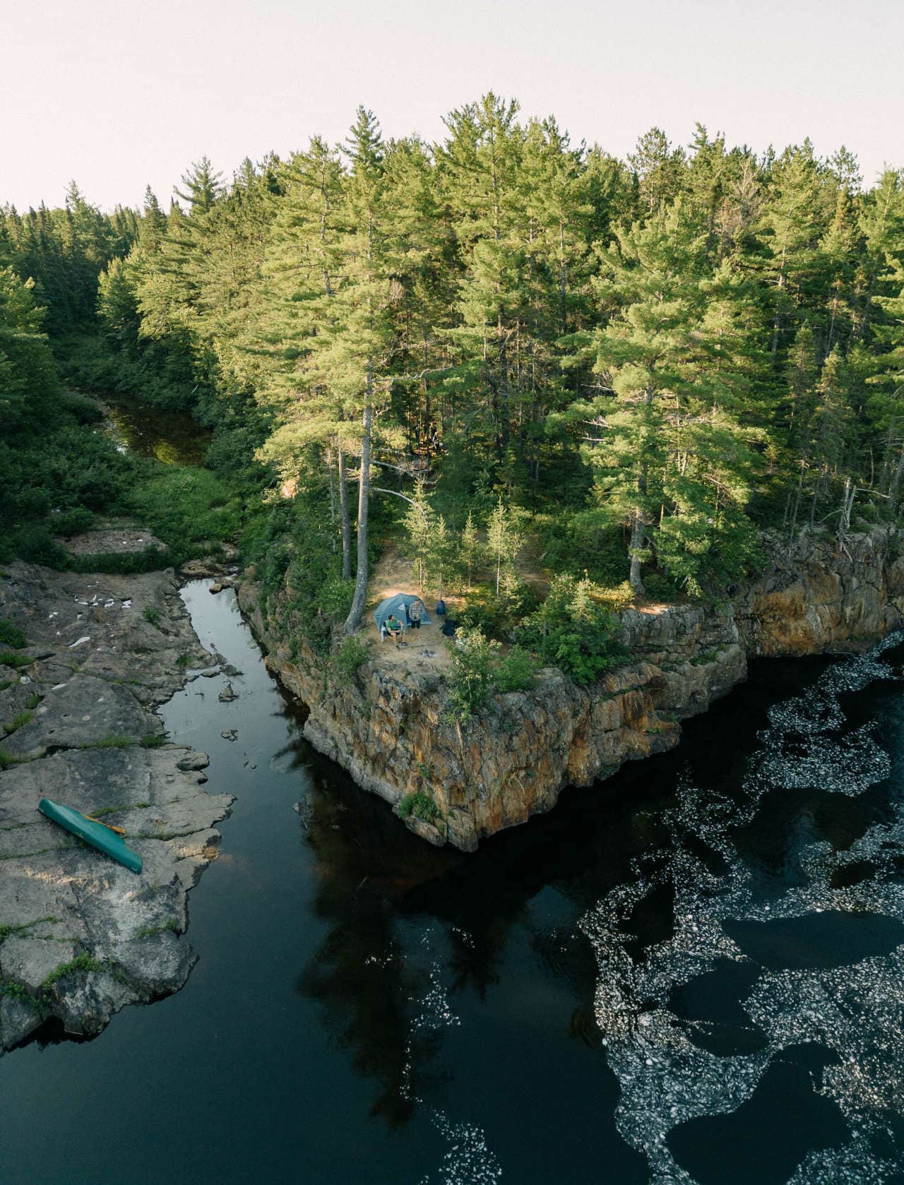
The Nepisiguit Mi’gmaq Trail, Chaleur Region, New Brunswick
The best in summer hiking: The Sentier Nepisiguit Mi’gmaq Trail in Chaleur Region, New Brunwick
The Mi’gmaq trail along the Nepisiguit River (from Mount Carleton to Daly Point), in Chaleur Region, a collection of coastal towns located in New Brunswick’s northeast, is one of Canada’s premier destinations for the hiking enthusiast.
To get there, heading east, I would stay on the Trans-Canada Highway through Quebec City, staying on the south side of the St. Lawrence River, as that opens up, then head south into New Brunswick as soon as you hit Rimouski, in Quebec, perhaps. Then make your way to the city of Bathurst, in Chaleur Region, an ideal place to hang your hat for a longer stay (there’s a great summer festival going on there now).
You can hike the trail both ways, it should be pointed out, but the people there tend to see a majority of hikers choosing to start at Mount Carleton and ending in Bathurst. But you can have your base in Bathurst to plan the trip (and take a taxi or carpool to Mount Carleton to start the hike).
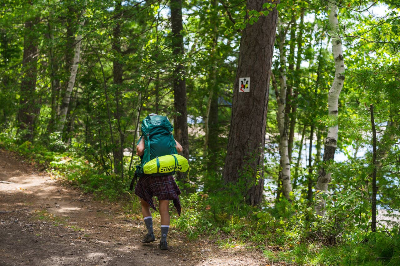
Then your adventure really begins. The Sentier Nepisiguit Mi’gmaq Trail is the longest backcountry trail in Canada’s Maritimes, which skirts Bathurst for nine kilometres south from Daly Point Nature Reserve, to the estuary of the pristine Nepisiguit River. From there, the trail meanders along the river for 140 kilometres, back to its origins, high in the Appalachian Mountains of Mt. Carleton Park.
For hundreds of years, the Indigenous Mi’gmaq peoples used the waterway to migrate back and forth between summer encampments on the coast of the province and winter hunting grounds deep in the interior. People hike here through the end of October, with sections of trail closer to Bathurst remain open during the winter for day hikers on snowshoes.
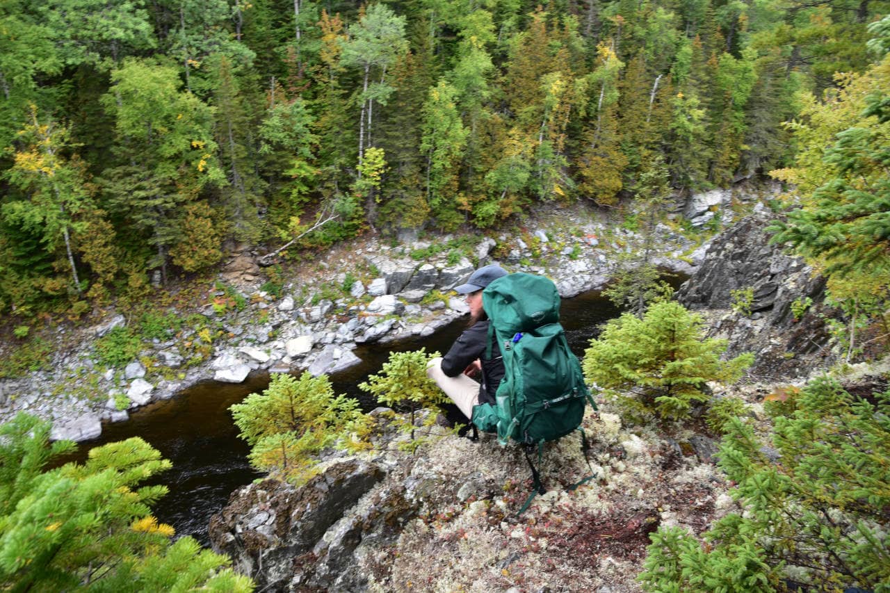
The immense health benefits of summer hiking
The trail has attracted thousands since it opened in 2018. Most day hikers access the trail around Bathurst. Daly Point Nature Reserve – with 100 acres of salt marsh, its rich bird life, attracting birdwatchers by the thousands – is a popular stepping on point. Other popular starting areas are the Pump House, Red Brook and Middle Landing.
There are campers who walk the entire trail – that can take between six to 12 days, through remote wilderness without internet or telephone access. Sounds like a dream. Check out the interactive map and plan properly. Get to know the trail’s 21 access points – in the event of physical issues that might come up, weather concerns, fatigue, emergencies. Access points are identified by a letter.
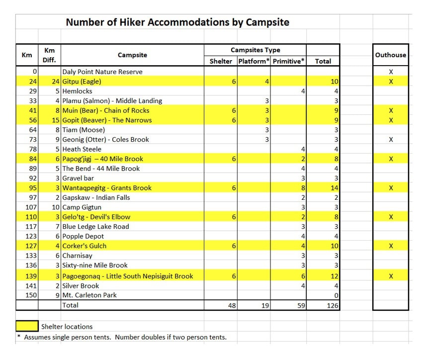
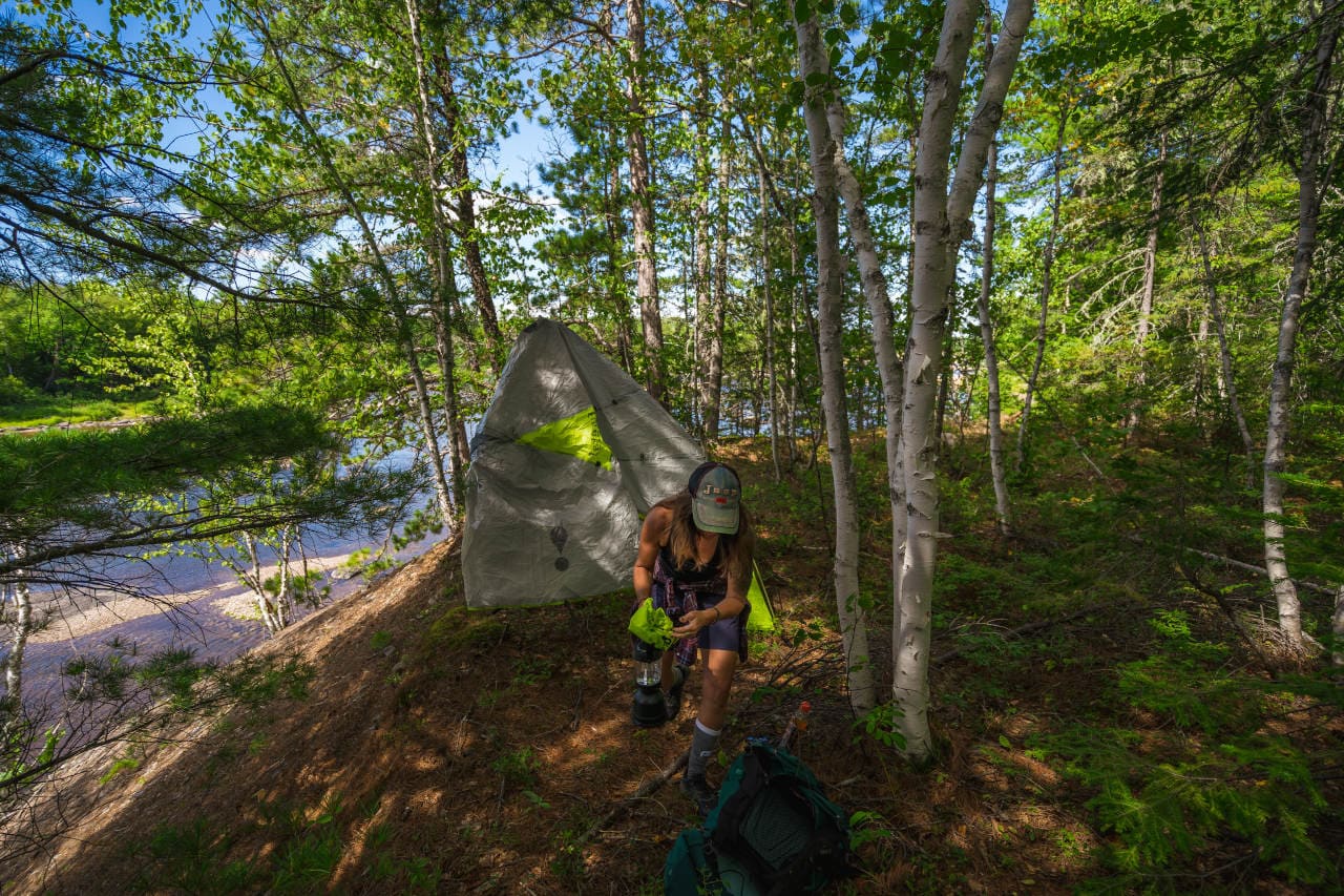
For those looking at a multi-day venture, planning to bring their camping gear along, there are 22 designated campsites, ideal for tenting. The first campsite after leaving the eastern trailhead at Daly Point Nature Reserve is at the Gitpu (Eagle) Campsite at Km 24. Campsites can then be found two to 15 kilometres apart until the trail ends.
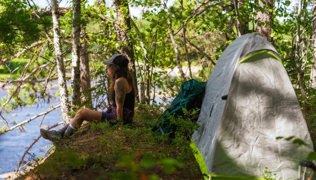
The beauty for hikers and campers – every campsite features a view of the Nepisiguit River, with a readily accessible water supply. There are three types of campsites – those that have shelters, wooden platforms for single or double tents, sites to pitch a tent (with an outhouse), a second type of campsite that has platforms only (no outhouse facilities), and a third type of campsite that just has cleared areas (no outhouse facilities).
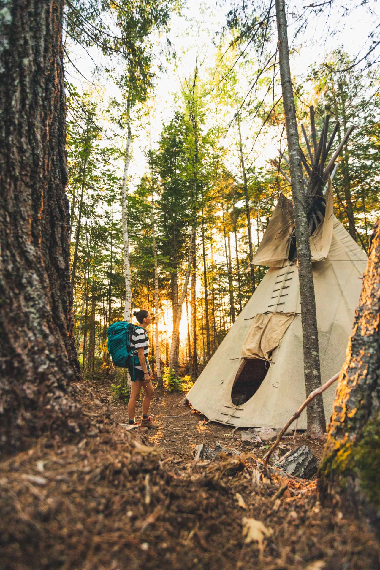
A few of the summer hiking sites have teepees, and hikers/campers can visit those, but with the dirt floors and their tendency to leak in the event of rain they are not suitable for overnight accommodations. What a great way to remind people of Mi’gmaq peoples from years past – with striking photo opportunities.
At the end of your hike, you’ll feel reborn, re-charged, ready to dive back in, get back at it.
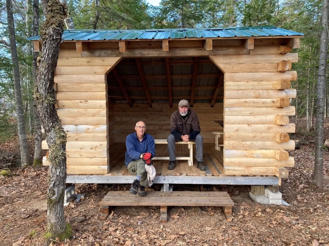
Shelter
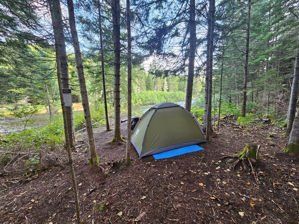
Primitive camping sites
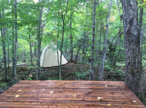
Camping platform

Mark Keast has been a journalist for three decades, starting out as a sports writer and editor for one of Toronto’s largest daily newspapers. Recently he has moved into writing on luxury cars, travel, and Toronto luxury real estate. He owns real estate in downtown Toronto as well, so there’s a vested interest there. Mark spends a lot of his work time connecting with realtors and developers across Canada, staying on top of industry developments.
Check out his stories, and email him direct at mkeast@regardingluxury.com


